Paddling is for everyone, but no one should jump into Class III, IV or V whitewater without the right experience. Water level, recent rainfall and other factors can seriously affect the safety of a planned trip.
Check out this list of Arkansas rivers for examples of Class I-V water in the state, but remember—check water levels before you go, consider using an outfitter or guide and always stick to water that matches your experience level.

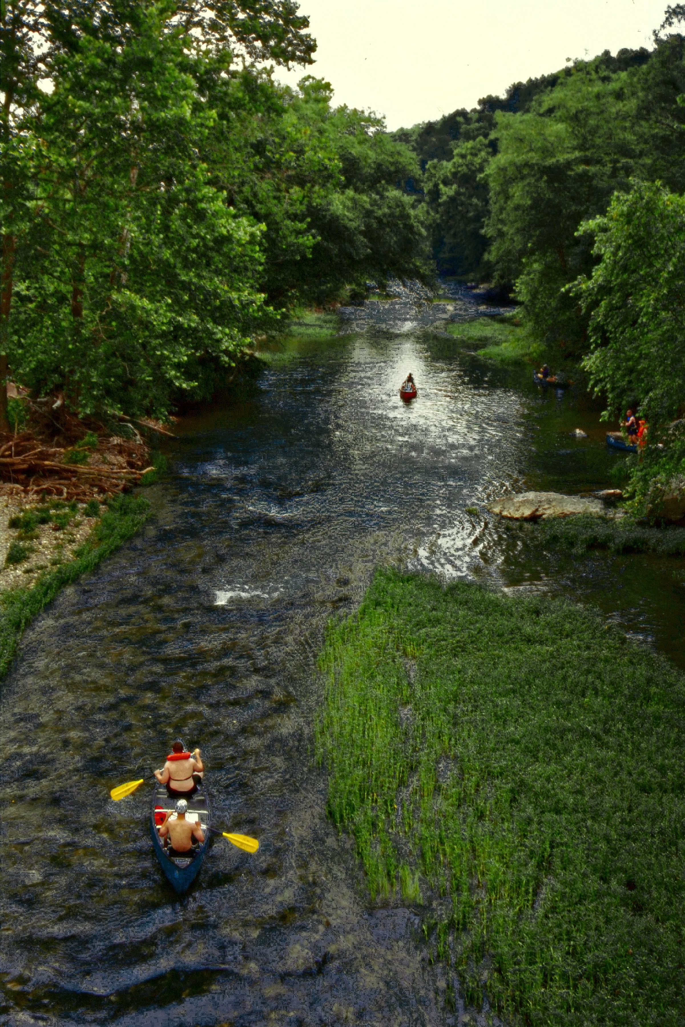
Class I/II
“I’ve never paddled before.”
Photography: Courtesy Arkansas Department of Parks and Tourism
The Caddo River
GPS Coordinates:
34.45349, -93.6822
Flows Through: Montgomery, Pike and Clark Counties
This 82-mile river has several sections of Class I and II rapids, and it’s often traveled by families.
Class III
“I’m a strong swimmer.”

Photography: Courtesy Arkansas Department of Parks and Tourism/DANNY OWENS
Lower Richland Creek
GPS Coordinates:
34.87105, -93.11052
Flows Through: Newton and Searcy Counties
Common Routes: Richland Creek Campground to NFR 1201, 8.5 miles
Section II is ideal for moving into Class III runs, with lots of action in the first few miles and a relatively flat end as the creek approaches the Buffalo River.
Class IV/V
“I’m able to self-rescue.”

Horsehead Creek
GPS Coordinates:
35.61169, -93.6599
Flows Through: Johnson County
Common Routes: FR 1445A to Horsehead Creek, 5 miles
Don’t let the scenery surrounding the creek fool you; this run is not for the inexperienced.
Class IV+
“I’ve had formal instruction and lots of experience of increasing difficulty.”
Cossatot River Falls
GPS Coordinates:
34.34012, -94.2511
Flows Through: Howard, Polk and Sevier Counties
Common Routes: Ed Banks Road to Highway 278, 6.25 miles
Section I is suitable for those learning to navigate Class II rapids, but section II becomes more challenging with section III getting downright hazardous.

Photography: Courtesy ALEX KENT
For more information, check out americanwhitewater.org and ozarkpages.com.
Contact your local Arkansas Canoe Club chapter for information on classes and group outings.