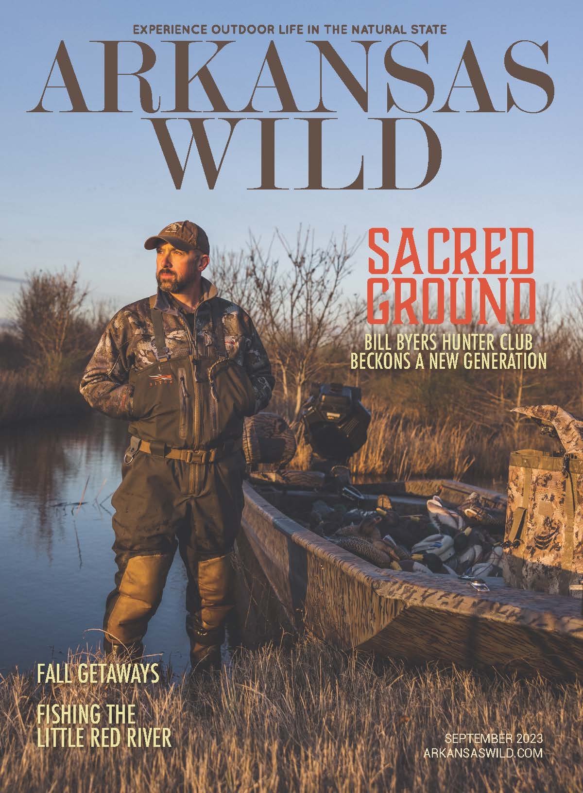
INSTANT CLASSIC
Hiking the last leg of the buffalo river trail
By Bob robinson

Our hiking group poses on Kimball Bluff with an unobstructed view of the Buffalo River.

Dinner, adult beverages and conversation in the glow of a welcome campfire ends day one.
Not long ago, I led a backpack trip on a section of trail that was at the top of my bucket-list hikes in Arkansas: the Buffalo River Trail. As it turned out, it was also high on other hikers’ lists, with the adventure filling up just two days after posting it on the NWA Hiking Meetup website.
Twelve years in the making, the 28.5-mile extension to Buffalo River Trail (BRT) was completed in 2017. The BRT is a product of the National Park Service’s (NPS) “Trail Plan: Buffalo National River, Arkansas” created in 1987, an updated version of the NPS Final Master Plan from 1975.
Within the Trail Plan was a section asserting “Trails will be constructed to provide opportunities for hiking the entire length of the river…” Although the NPS’s intentions were admirable, the bulk of construction for both the original 52 miles of the BRT and the extension was achieved by volunteers working under the supervision of Kenneth L. Smith.
Smith has become a major authority on the river and its history, authoring both the “Buffalo River Handbook” and “The Buffalo River Country in the Ozarks of Arkansas”. He once related to me that trail construction is both a skill and an art. And now, once again, he has crafted a new masterpiece for people to enjoy.

High atop Kimball Bluff, Stacy Price pauses for a view of the river along the Buffalo River Trail.
Beginning at Tyler Bend State Park (TBSP), the BRT’s previous eastern boundary, the new extension shadows the scenic river downstream to Dillard’s Ferry on State Highway 14. We began this backpack trip at Zack Ridge Road Trailhead, several miles east of TBSP.
Shortly into our hike, we came across Horton Cemetery. Exploring the graveyard’s well-kept grounds, we found the lone legible headstone of Thomas Treat (1848-1923), along with several unmarked upright native stones denoting the final resting place for other local residents.
This is one of the attractions that make the BRT such an interesting hike. Many remnants from early homesteaders of the 1830s still exist such as deteriorating structures, abandoned equipment and makeshift tools. Our group investigated relics of a home site in an attempt to reconstruct what had once been a working, productive household.
Further along the hike, we witnessed a pair of 10-foot concrete pillars standing guard in the bed of Brush Creek. These are the remains of the bridge over which the Missouri & North Arkansas Railroad (M&NA) travelled in 1910 on its scheduled route linking the Mississippi River to southern Missouri. With a reputation of frequently being late, locals joked M&NA stood for “May Never Arrive”.
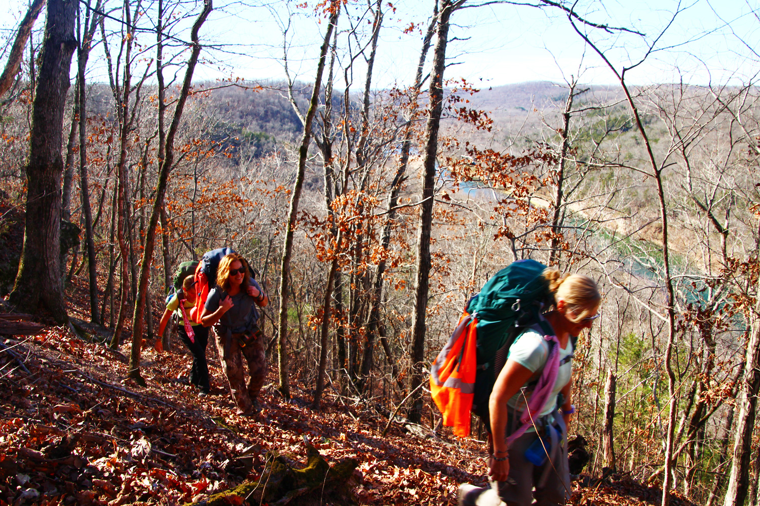
Linda Brown leads the group up one of many ridge trails on the BRT.
About 100 yards north from there, following the former railroad bed, we discovered a set of massive, 60-foot-tall concrete columns, evenly spaced across the riverbed. Standing beside these towering structures, it was difficult to visualize the scene of December 1982 when flood waters covered the tops of the piers.
Further along the BRT, in an unnamed drainage, we searched for a pre-Civil-War headstone that I had read about for one A.B. Still. With a thick blanket of freshly fallen leaves covering the ground, we were unable to locate the headstone. But it made for interesting exploration.
As intriguing as these and other artifacts are, the main attraction compelling visitors to walk the BRT is the Buffalo River itself. The nation’s first National River, it boasts 150 miles of pristine, emerald green waters bordered by sheer 300-foot bluffs nestled in the heart of the uplifted Ozark Plateaus. It is truly the crown jewel of the Natural State.
At the end of our first day of hiking, we settled atop one of the many mountainous knolls traversed by the BRT, then brushed leaves and sticks aside to create cozy tent sites. With an unobstructed view of the distant horizon we watched the bright red sunset fade away and the dark open sky fill with sparkling stars.
We did not encounter as many home sites on Day Two as we had the day before. However, this was more than offset by the BRT routing us along the rims of tall bluffs with sweeping views of the river below. This section of trail offers more extended hiking with views overlooking the river than any stretch I can name along the entire BRT.
The views from atop Spring Creek Bluff and Kimball Bluff equal, if not surpass, the beauty of the well-known vantage points hikers have enjoyed for years on the original BRT. The extension is a great addition to what was already the best hiking trail in Arkansas.